
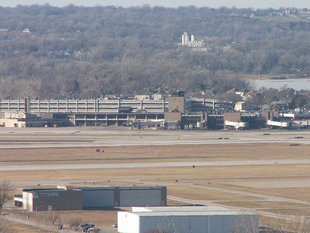
Large airport · Omaha, United States
Eppley Airfield
On the west bank of the Missouri River in Douglas County, it is the busiest airport in Nebraska, with more arrivals and departures than all other airports in the state combined. Its IATA code is OMA. Its ICAO code is KOMA. It has 3 runways, longest 9,502 ft (CON). Elevation 984 ft.
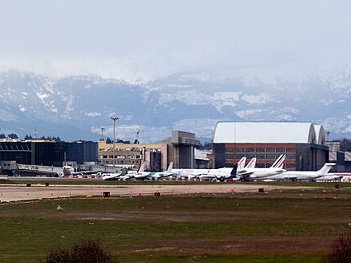
Photo: Original uploader was Americasroof at en.wikipedia via Wikimedia Commons, CC BY-SA 2.5. Cropped and resized for display.
Airport facts
| Location | Omaha, United States |
|---|---|
| IATA code | OMA |
| ICAO code | KOMA |
| Type | Large airport |
| Runways | 3 runways, longest 9,502 ft (CON) |
| Elevation | 984 ft |
| Scheduled service | Yes |
| Coordinates | 41.3032° N, 95.8941° W |
Every fact above is taken from the sources listed below; anything no source states is left blank rather than guessed.
What Eppley Airfield is known for
On the west bank of the Missouri River in Douglas County, it is the busiest airport in Nebraska, with more arrivals and departures than all other airports in the state combined.
Official website: https://www.flyoma.com — the airport's own site has the current flight and visiting information.
National parks near this airport
National parks close to Eppley Airfield, by straight-line distance — each link opens its profile on our sister site National Park Profiles.
- Lake Manawa State Park · United States · 7.5 miles away
- Fort Atkinson State Historical Park · United States · 12.0 miles away
- Wilson Island State Recreation Area · United States · 13.7 miles away
- Platte River State Park · United States · 27.1 miles away
- Eugene T. Mahoney State Park · United States · 29.0 miles away
- Preparation Canyon State Park · United States · 40.7 miles away
Airports nearby
The closest airports in this library, by straight-line distance.
Council Bluffs Municipal Airport
7.6 miles awayOffutt Air Force Base
12.7 miles awayMillard Airport
13.5 miles awayBrowns Airport
32.1 miles awayFremont Municipal Airport
34.1 miles awayMore airports in United States
More large airports

Frequently asked questions
What is Eppley Airfield?
On the west bank of the Missouri River in Douglas County, it is the busiest airport in Nebraska, with more arrivals and departures than all other airports in the state combined.
What is the airport code for Eppley Airfield?
Eppley Airfield — its IATA code is OMA and its ICAO code is KOMA.
Where is Eppley Airfield located?
Eppley Airfield serves Omaha, United States. Its coordinates are 41.3032° N, 95.8941° W.
How high is Eppley Airfield?
Eppley Airfield sits at 984 feet above sea level.
Sources
- https://davidmegginson.github.io/ourairports-data/airports.csv#3751
- https://en.wikipedia.org/wiki/Eppley_Airfield
Page last updated 13 November 2026.