
Small airport · Omaha, United States
Millard Airport
Millard Airport is a small airport serving Omaha, United States. Its IATA code is MIQ. Its ICAO code is KMLE. It has 1 runway, longest 3,801 ft (CON). Elevation 1,051 ft.
No freely licensed photograph of this airport is in our library yet — rather than borrow a picture of somewhere else, this profile leads with its verified facts.
Airport facts
| Location | Omaha, United States |
|---|---|
| IATA code | MIQ |
| ICAO code | KMLE |
| Type | Small airport |
| Runways | 1 runway, longest 3,801 ft (CON) |
| Elevation | 1,051 ft |
| Coordinates | 41.1959° N, 96.1121° W |
Every fact above is taken from the sources listed below; anything no source states is left blank rather than guessed.
Official website: https://dot.nebraska.gov/media/pbuby1hh/airport-directory.pdf#page62 — the airport's own site has the current flight and visiting information.
National parks near this airport
National parks close to Millard Airport, by straight-line distance — each link opens its profile on our sister site National Park Profiles.
- Lake Manawa State Park · United States · 13.2 miles away
- Platte River State Park · United States · 15.0 miles away
- Eugene T. Mahoney State Park · United States · 15.7 miles away
- Fort Atkinson State Historical Park · United States · 18.4 miles away
- Wilson Island State Recreation Area · United States · 20.6 miles away
- Waubonsie State Park · United States · 42.4 miles away
Airports nearby
The closest airports in this library, by straight-line distance.
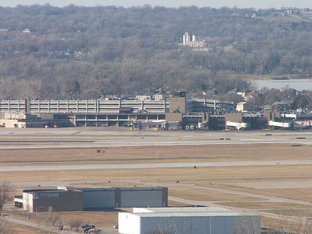
More airports in United States
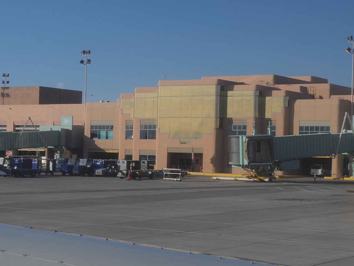
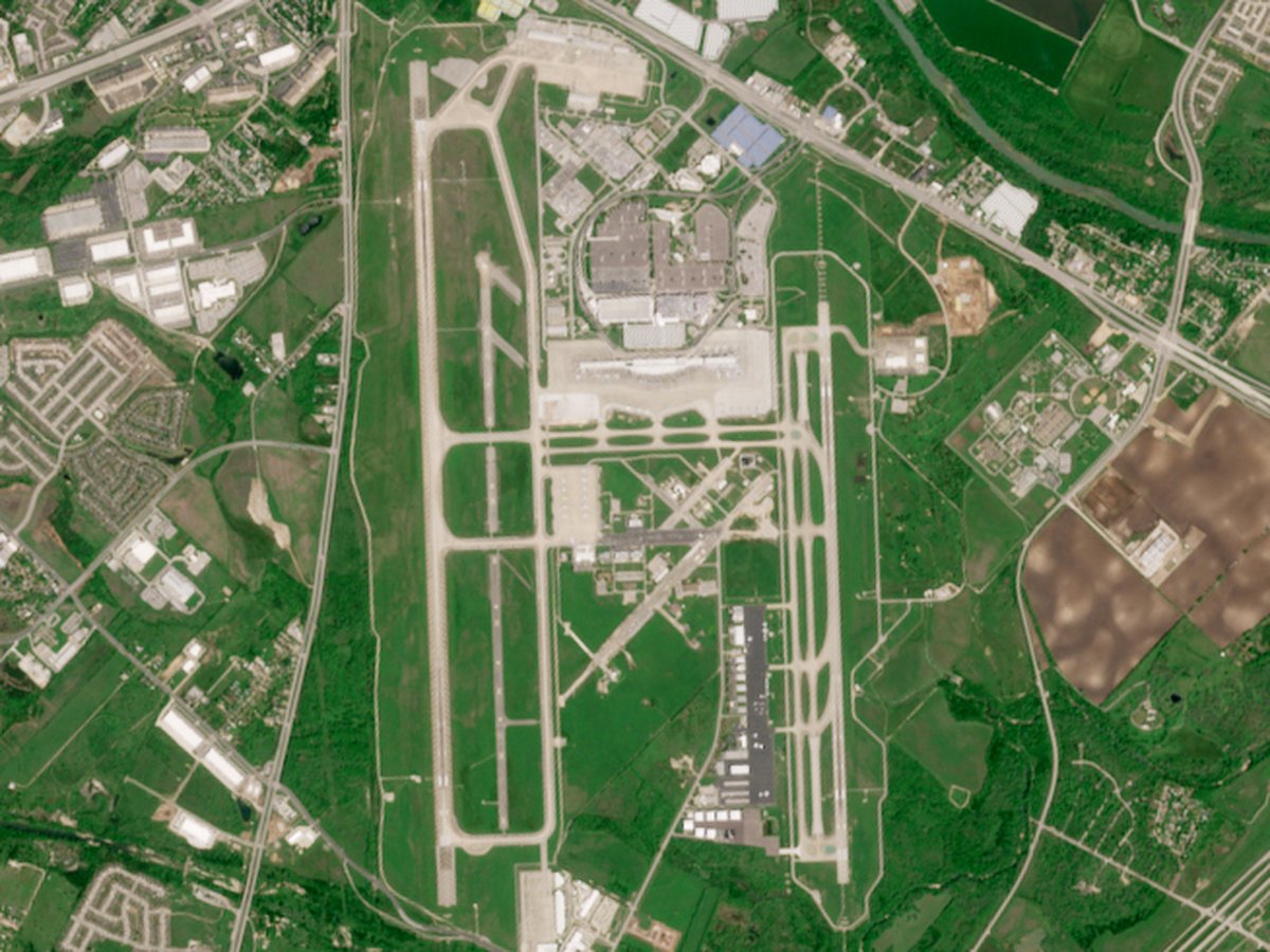
More small airports
Frequently asked questions
What is the airport code for Millard Airport?
Millard Airport — its IATA code is MIQ and its ICAO code is KMLE.
Where is Millard Airport located?
Millard Airport serves Omaha, United States. Its coordinates are 41.1959° N, 96.1121° W.
How high is Millard Airport?
Millard Airport sits at 1,051 feet above sea level.
Sources
- https://davidmegginson.github.io/ourairports-data/airports.csv#20523
- https://en.wikipedia.org/wiki/Millard_Airport_(Nebraska)
Page last updated 13 November 2026.