
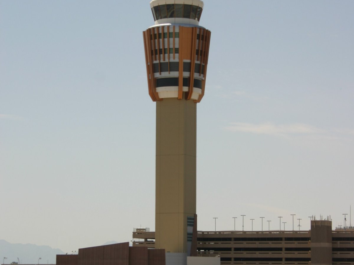
Large airport · Phoenix, United States
Phoenix Sky Harbor International Airport
It is Arizona's largest and busiest airport. Its IATA code is PHX. Its ICAO code is KPHX. It has 3 runways, longest 11,489 ft (ASP). Elevation 1,135 ft.
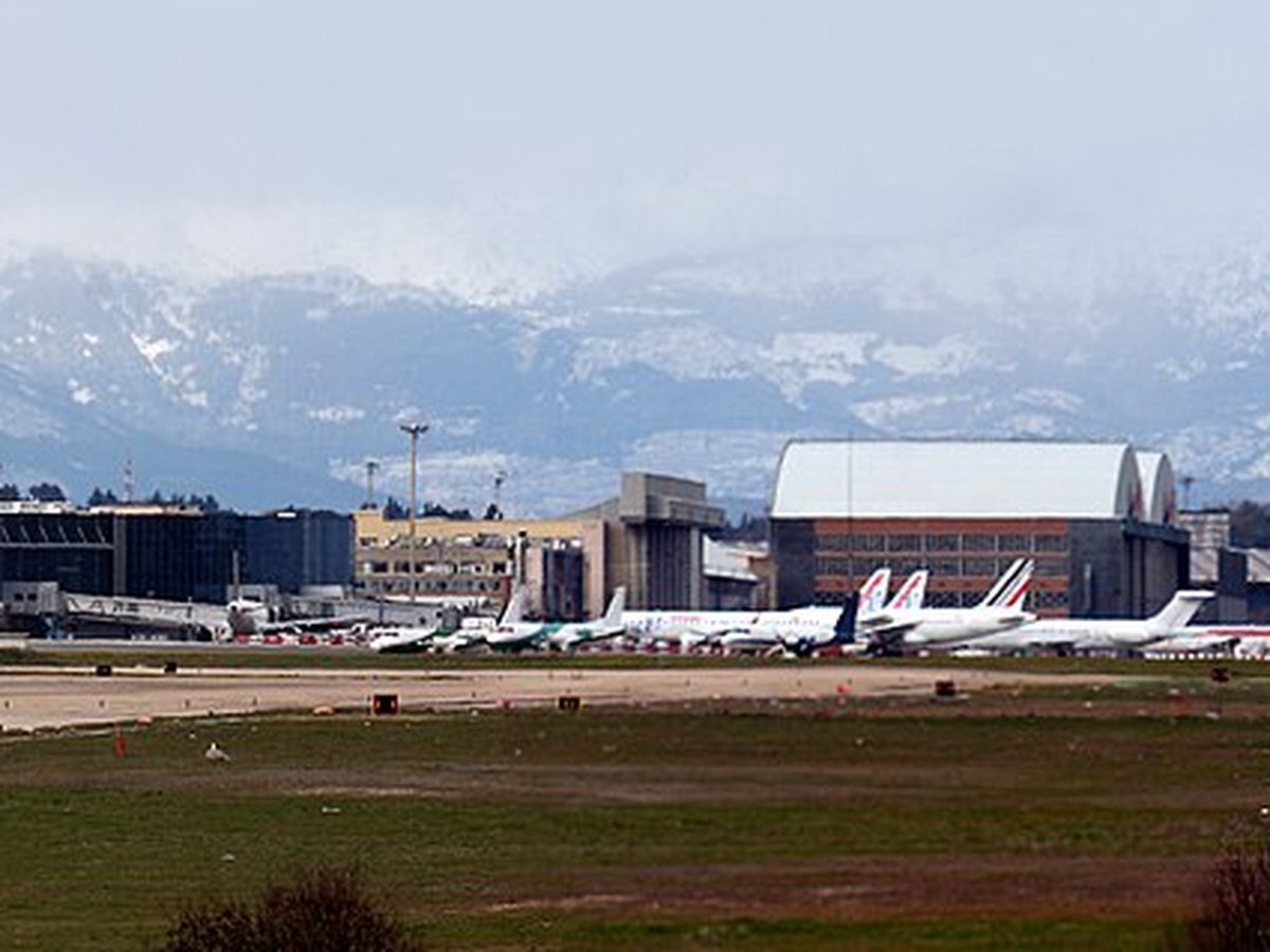
Photo: Cygnusloop99 via Wikimedia Commons, CC BY-SA 3.0. Cropped and resized for display.
Airport facts
| Location | Phoenix, United States |
|---|---|
| IATA code | PHX |
| ICAO code | KPHX |
| Type | Large airport |
| Runways | 3 runways, longest 11,489 ft (ASP) |
| Elevation | 1,135 ft |
| Scheduled service | Yes |
| Coordinates | 33.4353° N, 112.0059° W |
Every fact above is taken from the sources listed below; anything no source states is left blank rather than guessed.
What Phoenix Sky Harbor International Airport is known for
It is Arizona's largest and busiest airport.
History
Among the largest commercial airports in the United States, PHX was the 11th-busiest airport in the United States in terms of passenger boardings and 38th-busiest in the world in 2025.
Official website: http://phoenix.gov/skyharborairport/ — the airport's own site has the current flight and visiting information.
How to get there
thumb|PHX Sky Train Travelers can access both terminals from the East Economy Parking by using the PHX Sky Train. There is also terminal parking adjacent to each terminal. The PHX Sky Train project is complete, connecting terminals to the Rental Car Center. Valley Metro bus route 13 has a stop at the 24th St. Sky Train station Travelers connecting to or from the Greyhound station can walk from the 24th St. Sky Train Station. The Valley Metro Rail has a stop at the nearby 44th St/Washington light rail station. A moving sidewalk bridge over Washington Street allows light rail passengers to arrive at the nearby PHX Sky Train station and then onward to stations at the East Economy Parking Lot and Terminals 3 and 4. Valley Metro bus routes 44 serve the PHX Sky Train station at 44th Street and Washington. A number of taxi, limousine, ride share and shuttle companies provide service between eac
National parks near this airport
National parks close to Phoenix Sky Harbor International Airport, by straight-line distance — each link opens its profile on our sister site National Park Profiles.
- Hohokam Pima National Monument · United States · 17.9 miles away
- Verde River Greenway State Natural Area · United States · 21.3 miles away
- Lost Dutchman State Park · United States · 30.5 miles away
- Casa Grande Ruins National Monument · United States · 40.8 miles away
- McFarland State Historic Park · United States · 45.1 miles away
- Tonto National Monument · United States · 54.7 miles away
Airports nearby
The closest airports in this library, by straight-line distance.
More airports in United States
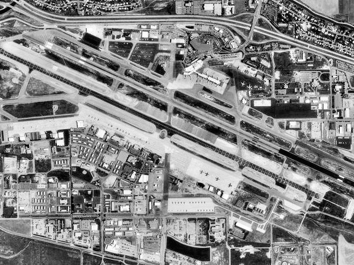
More large airports
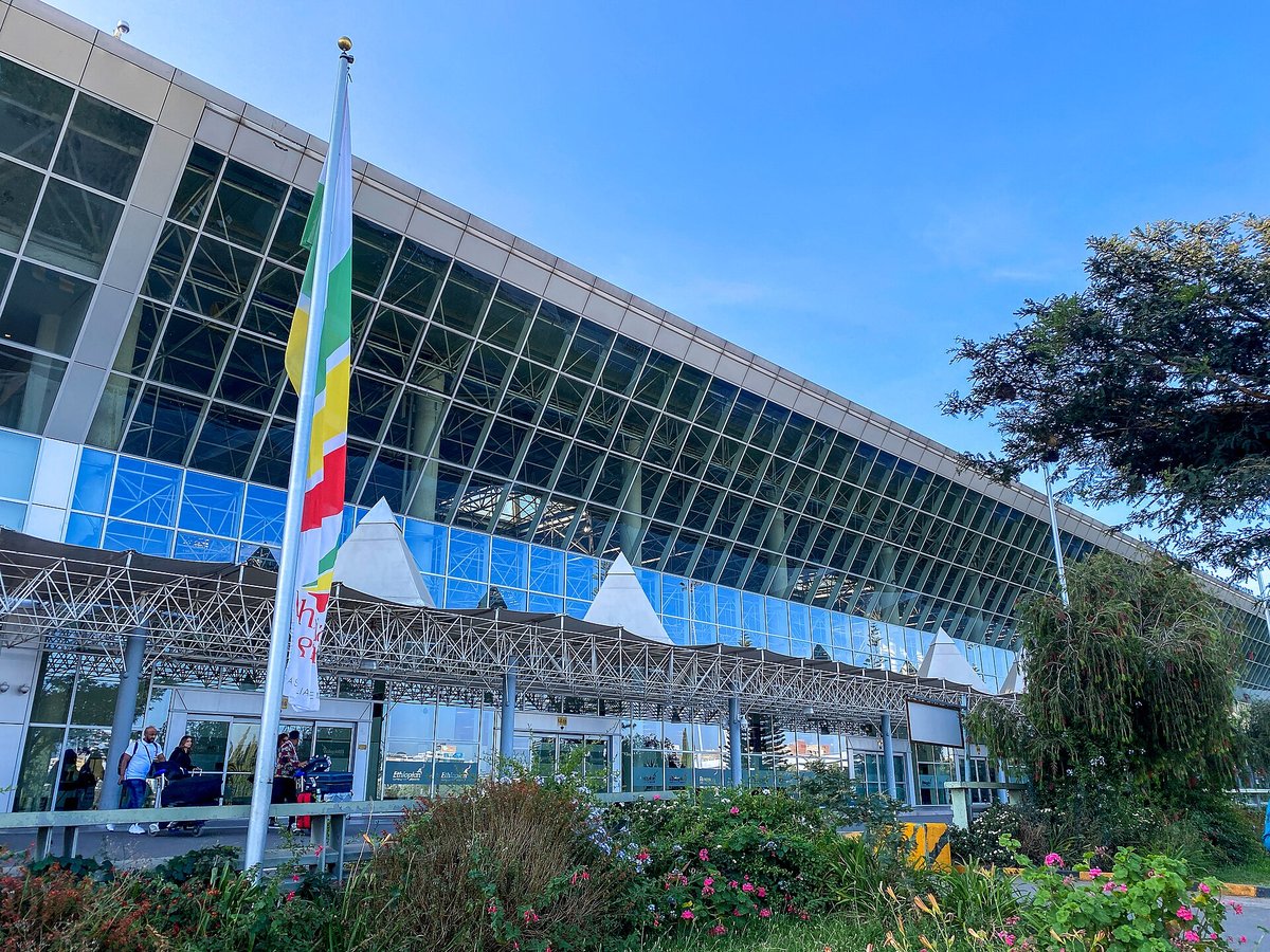
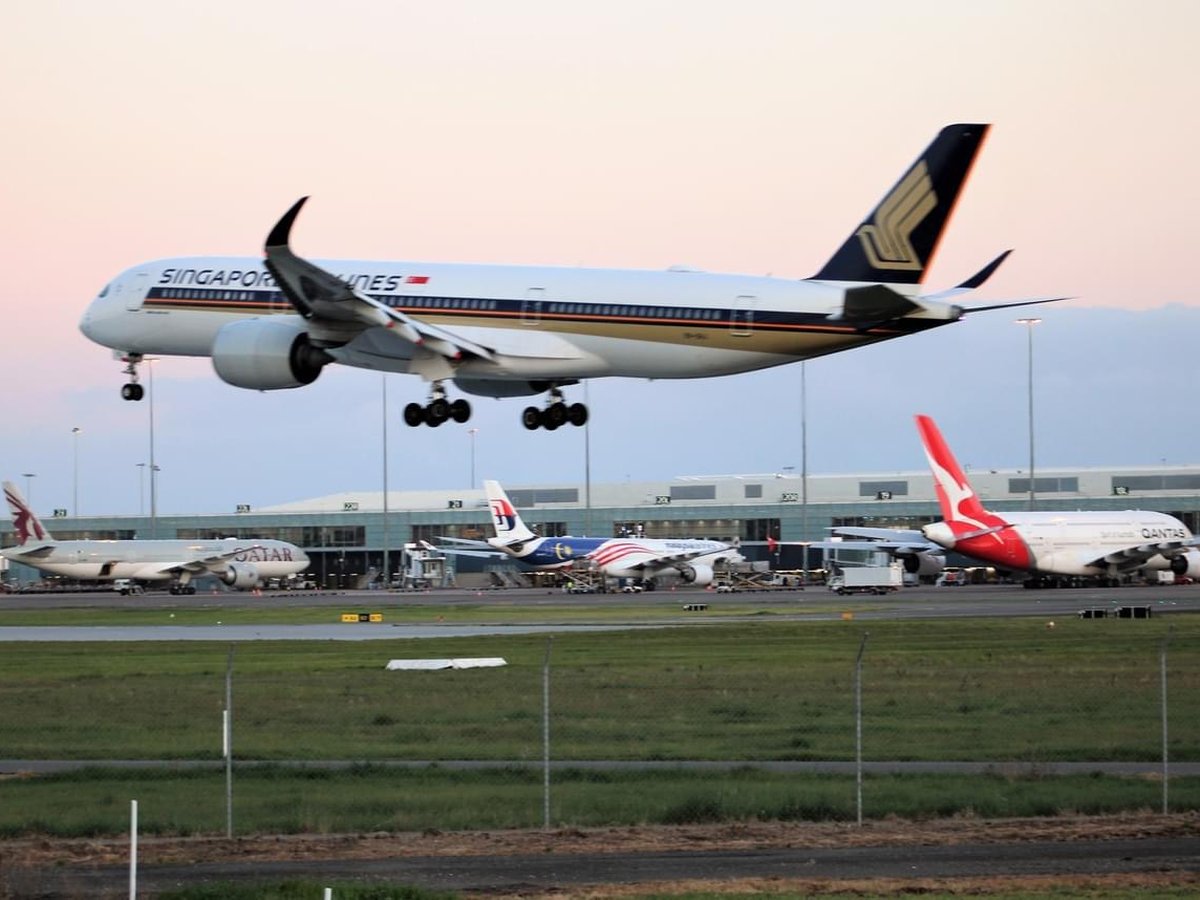
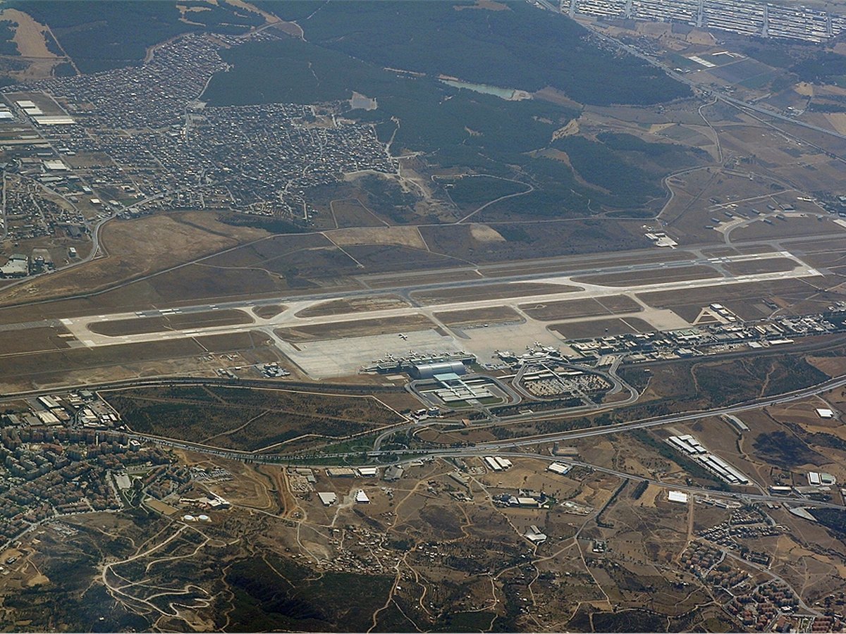

Frequently asked questions
What is Phoenix Sky Harbor International Airport?
It is Arizona's largest and busiest airport.
What is the airport code for Phoenix Sky Harbor International Airport?
Phoenix Sky Harbor International Airport — its IATA code is PHX and its ICAO code is KPHX.
Where is Phoenix Sky Harbor International Airport located?
Phoenix Sky Harbor International Airport serves Phoenix, United States. Its coordinates are 33.4353° N, 112.0059° W.
How do I get to Phoenix Sky Harbor International Airport?
thumb|PHX Sky Train Travelers can access both terminals from the East Economy Parking by using the PHX Sky Train. There is also terminal parking adjacent to each terminal.
Sources
- https://davidmegginson.github.io/ourairports-data/airports.csv#3772
- https://en.wikipedia.org/wiki/Phoenix_Sky_Harbor_International_Airport
Page last updated 13 November 2026.