
Small airport · Olathe, United States
Johnson County Executive Airport
Measured by number of aircraft operations, the facility was the fourth-busiest airport in the state of Kansas in 2018. Its IATA code is OJC. Its ICAO code is KOJC. It has 1 runway, longest 4,097 ft (CON). Elevation 1,096 ft.
No freely licensed photograph of this airport is in our library yet — rather than borrow a picture of somewhere else, this profile leads with its verified facts.
Airport facts
| Location | Olathe, United States |
|---|---|
| IATA code | OJC |
| ICAO code | KOJC |
| Type | Small airport |
| Runways | 1 runway, longest 4,097 ft (CON) |
| Elevation | 1,096 ft |
| Coordinates | 38.8476° N, 94.7376° W |
Every fact above is taken from the sources listed below; anything no source states is left blank rather than guessed.
What Johnson County Executive Airport is known for
Measured by number of aircraft operations, the facility was the fourth-busiest airport in the state of Kansas in 2018.
History
Measured by number of aircraft operations, the facility was the fourth-busiest airport in the state of Kansas in 2018. The airport was on the FAA's list of airports whose control tower could be closed in September 2013, but it remains in operation.
Official website: http://www.jocogov.org/dept/airport-commission/executive-airport — the airport's own site has the current flight and visiting information.
National parks near this airport
National parks close to Johnson County Executive Airport, by straight-line distance — each link opens its profile on our sister site National Park Profiles.
- Hillsdale State Park · United States · 15.8 miles away
- Thomas Hart Benton Home and Studio State Historic Site · United States · 16.6 miles away
- Flint Hills Trail State Park · United States · 25.8 miles away
- Battle of Island Mound State Historic Site · United States · 29.8 miles away
- Prairie Spirit Trail State Park · United States · 32.7 miles away
- Clinton State Park · United States · 34.5 miles away
Airports nearby
The closest airports in this library, by straight-line distance.
New Century AirCenter Airport
8.3 miles awayCharles B. Wheeler Downtown Airport
20.6 miles awayLawrence Municipal Airport
28.1 miles away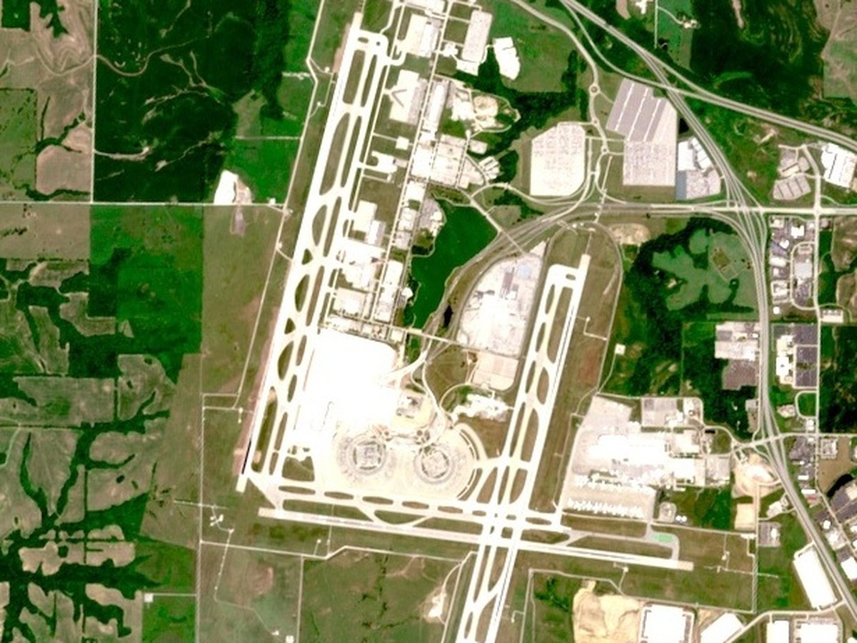
Kansas City International Airport
31.4 miles awaySherman Army Air Field
37.2 miles awayMore airports in United States
More small airports
Frequently asked questions
What is Johnson County Executive Airport?
Measured by number of aircraft operations, the facility was the fourth-busiest airport in the state of Kansas in 2018.
What is the airport code for Johnson County Executive Airport?
Johnson County Executive Airport — its IATA code is OJC and its ICAO code is KOJC.
Where is Johnson County Executive Airport located?
Johnson County Executive Airport serves Olathe, United States. Its coordinates are 38.8476° N, 94.7376° W.
What is the history of Johnson County Executive Airport?
Measured by number of aircraft operations, the facility was the fourth-busiest airport in the state of Kansas in 2018. The airport was on the FAA's list of airports whose control tower could be closed in September 2013, but it remains in operation.
Sources
- https://davidmegginson.github.io/ourairports-data/airports.csv#20731
- https://en.wikipedia.org/wiki/Johnson_County_Executive_Airport
Page last updated 13 November 2026.