
Small airport · Easton, United States
Easton State Airport
Easton State Airport is a small airport serving Easton, United States. Its IATA code is ESW. Its ICAO code is KESW. It has 1 runway, longest 2,640 ft (TURF-F). Elevation 2,226 ft.
No freely licensed photograph of this airport is in our library yet — rather than borrow a picture of somewhere else, this profile leads with its verified facts.
Airport facts
| Location | Easton, United States |
|---|---|
| IATA code | ESW |
| ICAO code | KESW |
| Type | Small airport |
| Runways | 1 runway, longest 2,640 ft (TURF-F) |
| Elevation | 2,226 ft |
| Coordinates | 47.2542° N, 121.1860° W |
Every fact above is taken from the sources listed below; anything no source states is left blank rather than guessed.
History
It was acquired by the state in 1958 to preserve it for future use.
Official website: http://www.wsdot.wa.gov/Public/Templates/Standard/DefaultTemplate.aspx?NRMODE=Published&NRNODEGUID=%7B3B856445-96DD-44E1-ABCE-2F — the airport's own site has the current flight and visiting information.
Landmarks near this airport
Famous landmarks close to Easton State Airport, by straight-line distance — each link opens its profile on our sister site LandmarkProfiles.
- Space Needle · United States · 60.0 miles away
National parks near this airport
National parks close to Easton State Airport, by straight-line distance — each link opens its profile on our sister site National Park Profiles.
- Lake Easton State Park · United States · 0.7 miles away
- Federation Forest State Park · United States · 24.8 miles away
- Olallie State Park · United States · 25.3 miles away
- Kanaskat-Palmer State Park · United States · 33.9 miles away
- Nolte State Park · United States · 35.4 miles away
- Peshastin Pinnacles State Park · United States · 36.9 miles away
Airports nearby
The closest airports in this library, by straight-line distance.
Bowers Field
34.4 miles awayPangborn Memorial Airport
46.9 miles awayRenton Municipal Airport
50.9 miles away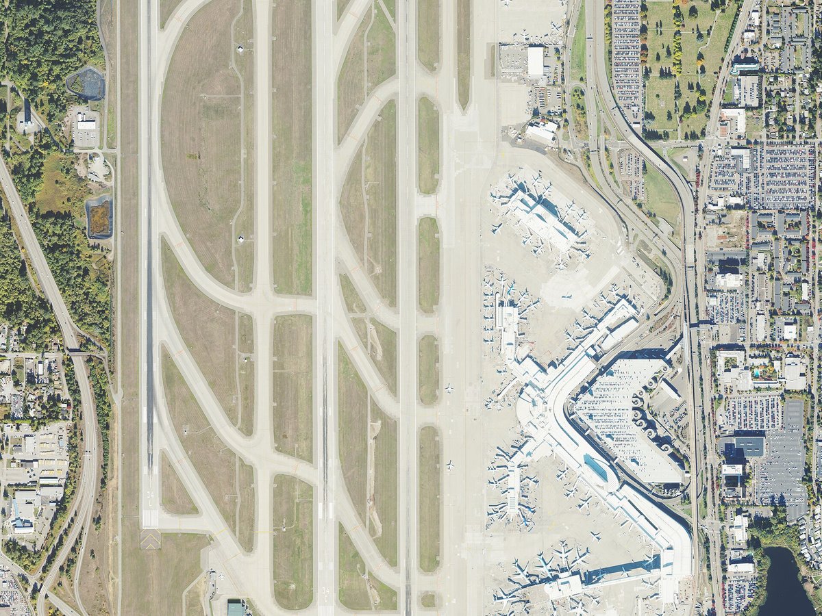
Seattle–Tacoma International Airport
54.3 miles awayKing County International Airport - Boeing Field
55.4 miles awayMore airports in United States
More small airports
Frequently asked questions
What is the airport code for Easton State Airport?
Easton State Airport — its IATA code is ESW and its ICAO code is KESW.
Where is Easton State Airport located?
Easton State Airport serves Easton, United States. Its coordinates are 47.2542° N, 121.1860° W.
What is the history of Easton State Airport?
It was acquired by the state in 1958 to preserve it for future use.
Sources
- https://davidmegginson.github.io/ourairports-data/airports.csv#17182
- https://en.wikipedia.org/wiki/Easton_State_Airport
Page last updated 13 November 2026.