
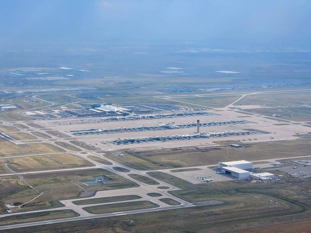
Large airport · Denver, United States
Denver International Airport
Denver International Airport is a large airport serving Denver, United States. Its IATA code is DEN. Its ICAO code is KDEN. It has 6 runways, longest 16,000 ft (CON). Elevation 5,431 ft.
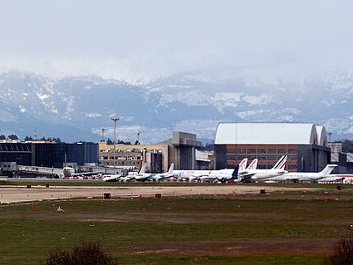
Photo: Murphpics via Wikimedia Commons, CC BY-SA 4.0. Cropped and resized for display.
Airport facts
| Location | Denver, United States |
|---|---|
| IATA code | DEN |
| ICAO code | KDEN |
| Type | Large airport |
| Runways | 6 runways, longest 16,000 ft (CON) |
| Elevation | 5,431 ft |
| Scheduled service | Yes |
| Coordinates | 39.8600° N, 104.6738° W |
Every fact above is taken from the sources listed below; anything no source states is left blank rather than guessed.
Official website: http://www.flydenver.com/ — the airport's own site has the current flight and visiting information.
How to get there
The Regional Transportation District (RTD) operates the A Line rail service between DEN and Denver Union Station in downtown Denver, making the 37 minute trip about every 15 minutes. RTD also operates an airport express bus service called skyRide between Arapahoe County or Boulder and DEN. There is also hourly service to Thornton on RTD route 104L, a limited stop bus. The airport is also served by two commuter routes with just a few runs per day: RTD route 145X to Brighton and 169L to Aurora. Scheduled bus service is also available to points such as Fort Collins, and van services stretch into Nebraska, Wyoming, and Colorado summer and ski resort areas. Amtrak offers a Fly-Rail plan for ticketing with United Airlines for trips into scenic areas in the Western U.S. via a Denver stopover. The airport is connected to I-70 and Denver via the Peña Boulevard freeway. A number of car rental comp
National parks near this airport
National parks close to Denver International Airport, by straight-line distance — each link opens its profile on our sister site National Park Profiles.
- Barr Lake State Park · United States · 7.5 miles away
- Cherry Creek State Park · United States · 18.3 miles away
- St. Vrain State Park · United States · 26.9 miles away
- Chatfield State Park · United States · 30.7 miles away
- Eldorado Canyon State Park · United States · 33.1 miles away
- Roxborough State Park · United States · 36.4 miles away
Airports nearby
The closest airports in this library, by straight-line distance.
Buckley Space Force Base
11.7 miles awayCentennial Airport
22.1 miles awayRocky Mountain Metropolitan Airport
23.7 miles awayBoulder Municipal Airport
31.8 miles awayGreeley–Weld County Airport
40.0 miles awayMore airports in United States
More large airports

Frequently asked questions
What is the airport code for Denver International Airport?
Denver International Airport — its IATA code is DEN and its ICAO code is KDEN.
Where is Denver International Airport located?
Denver International Airport serves Denver, United States. Its coordinates are 39.8600° N, 104.6738° W.
How do I get to Denver International Airport?
The Regional Transportation District (RTD) operates the A Line rail service between DEN and Denver Union Station in downtown Denver, making the 37 minute trip about every 15 minutes. RTD also operates an airport express bus service called skyRide between Arapahoe County or Boulder and DEN.
How high is Denver International Airport?
Denver International Airport sits at 5,431 feet above sea level.
Sources
- https://davidmegginson.github.io/ourairports-data/airports.csv#3486
- https://en.wikipedia.org/wiki/Denver_International_Airport
Page last updated 13 November 2026.