
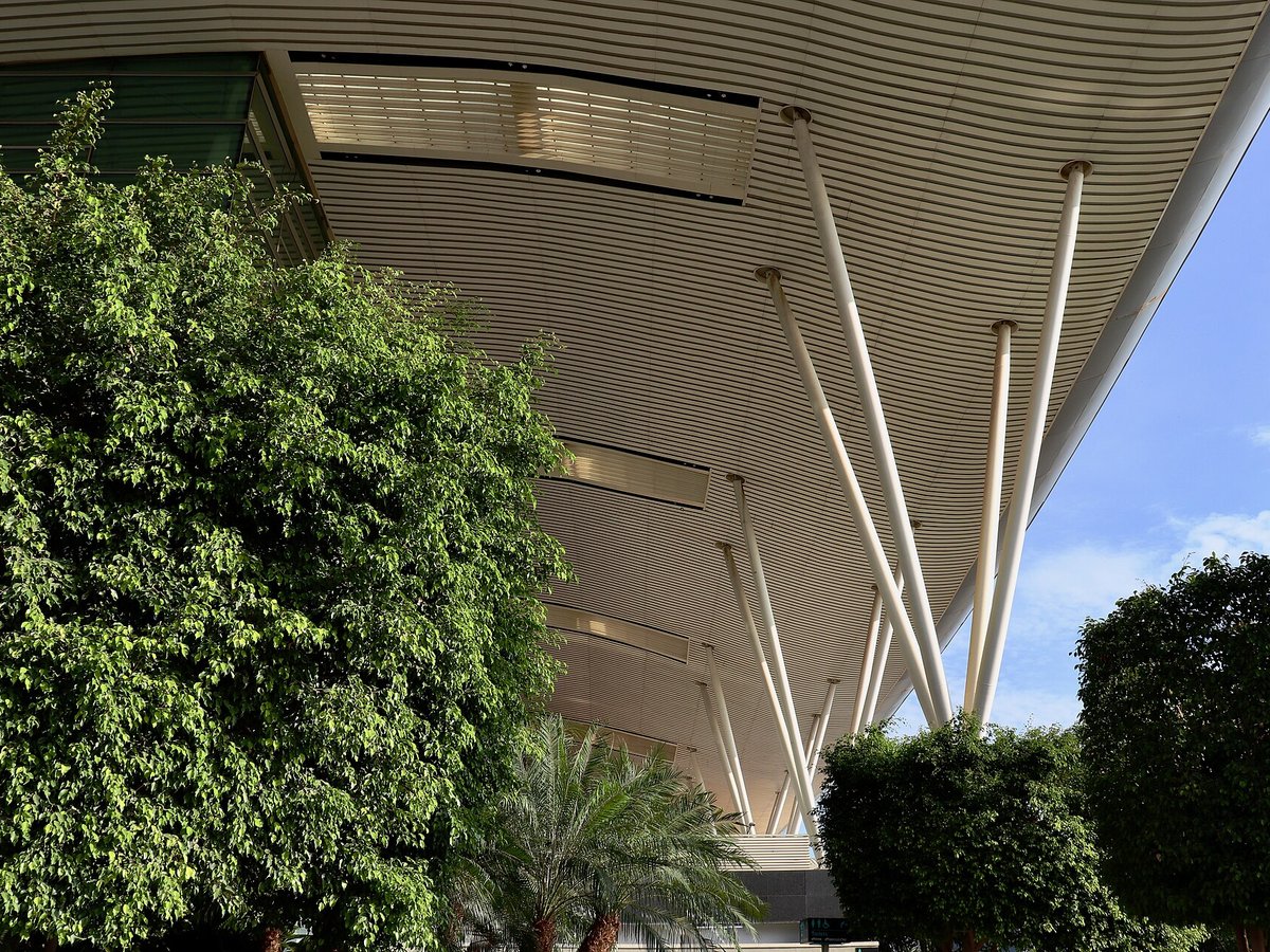
Large airport · Bengaluru, India
Kempegowda International Airport Bengaluru
It is Karnataka's first fully solar powered airport, developed by CleanMax Solar. Its IATA code is BLR. Its ICAO code is VOBL. It has 2 runways, longest 13,123 ft (ASP). Elevation 3,000 ft.
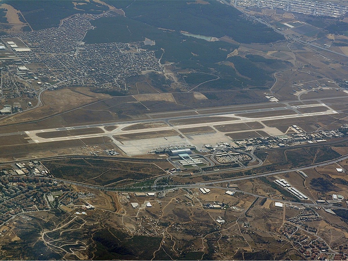
Photo: iMahesh via Wikimedia Commons, CC BY-SA 4.0. Cropped and resized for display.
Airport facts
| Location | Bengaluru, India |
|---|---|
| IATA code | BLR |
| ICAO code | VOBL |
| Type | Large airport |
| Runways | 2 runways, longest 13,123 ft (ASP) |
| Elevation | 3,000 ft |
| Scheduled service | Yes |
| Coordinates | 13.1979° N, 77.7063° E |
Every fact above is taken from the sources listed below; anything no source states is left blank rather than guessed.
What Kempegowda International Airport Bengaluru is known for
It is Karnataka's first fully solar powered airport, developed by CleanMax Solar.
History
The airport opened in May 2008, as an alternative to the increasingly congested HAL Airport, the original commercial airport serving the city.
Official website: http://www.bengaluruairport.com/home/home.jspx — the airport's own site has the current flight and visiting information.
How to get there
thumb|The trumpet interchange between NH44 and the road leading to the airport. thumb|Bengaluru Metropolitan Transport Corporation|BMTC's erstwhile [[Volvo buses that served the Vayu Vajra routes.]]
Landmarks near this airport
Famous landmarks close to Kempegowda International Airport Bengaluru, by straight-line distance — each link opens its profile on our sister site LandmarkProfiles.
- Mysore Palace · India · 94.0 miles away
National parks near this airport
National parks close to Kempegowda International Airport Bengaluru, by straight-line distance — each link opens its profile on our sister site National Park Profiles.
- Bannerghatta National Park · India · 28.8 miles away
- Sri Venkateswara National Park · India · 116.1 miles away
- Rajiv Gandhi National Park · India · 120.2 miles away
- Bandipur National Park · India · 128.6 miles away
- Nagarhole National Park · India · 131.1 miles away
- Mudumalai National Park · India · 137.2 miles away
Airports nearby
The closest airports in this library, by straight-line distance.
More airports in India
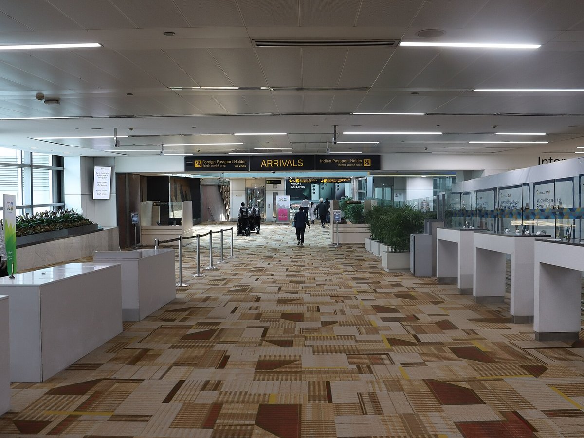
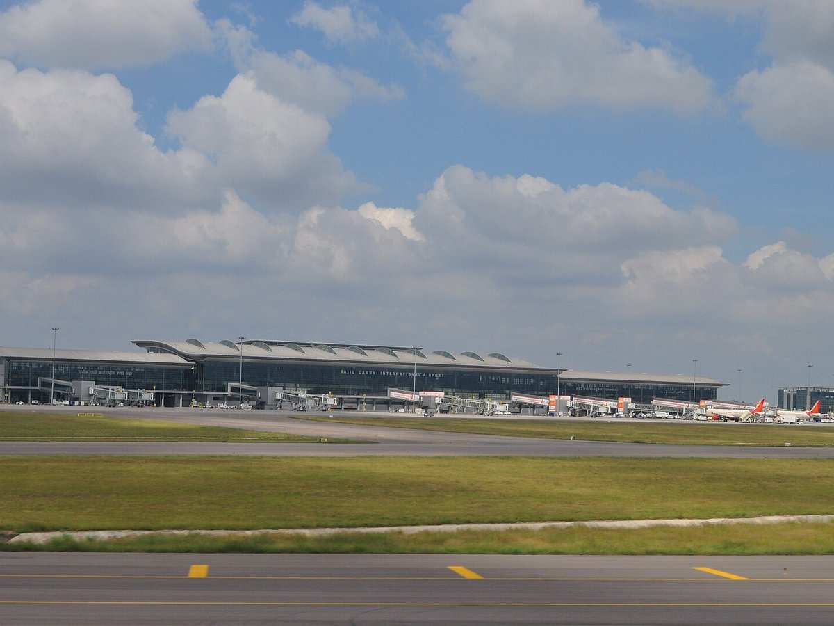
More large airports

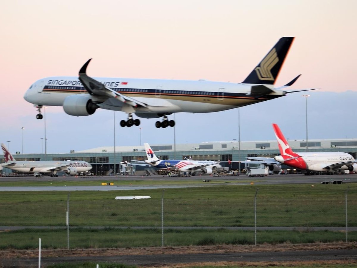

Frequently asked questions
What is Kempegowda International Airport Bengaluru?
It is Karnataka's first fully solar powered airport, developed by CleanMax Solar.
What is the airport code for Kempegowda International Airport Bengaluru?
Kempegowda International Airport Bengaluru — its IATA code is BLR and its ICAO code is VOBL.
Where is Kempegowda International Airport Bengaluru located?
Kempegowda International Airport Bengaluru serves Bengaluru, India. Its coordinates are 13.1979° N, 77.7063° E.
How do I get to Kempegowda International Airport Bengaluru?
thumb|The trumpet interchange between NH44 and the road leading to the airport. thumb|Bengaluru Metropolitan Transport Corporation|BMTC's erstwhile [[Volvo buses that served the Vayu Vajra routes.]]
Sources
- https://davidmegginson.github.io/ourairports-data/airports.csv#35145
- https://en.wikipedia.org/wiki/Kempegowda_International_Airport
Page last updated 13 November 2026.